WARNING! By municipal ordinance no. 31/2025 dated 27/06/2025, starting from July 1st and until the completion of the works, pedestrian traffic on the main street inside Mera will be interrupted from the fountain to Baita. Alternative routes are available and clearly marked on site. We advise against using strollers to reach the Il Campo and La Casera Bianca restaurants and the Il Covo playground.

External Key
ACTIVE

Brusson - Arcésaz

Route category:

Duration:

Length: 3648 m

Difficulty:
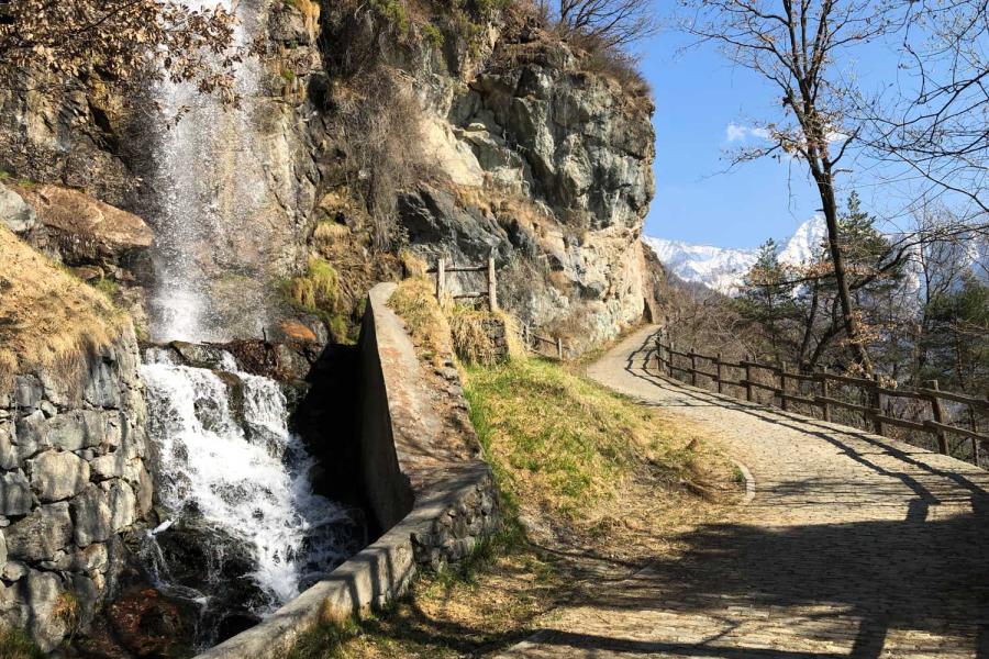
Arcésaz

Details of the tour

Properties

Ascent: 159 m

Lowest point: 1133 m

Highest point: 1276 m

Distance: 3648 m

Where

Start point

Brusson, 11022 Brusson AO

Get me there

Destination

Alpe di Mera-Alpe Sella path

Route category:

Difficulty:

Alpe di Mera Alpe Sella

Details of the tour

Properties

Ascent: 282 m

Where

Start point

Alpe di Mera, VC

Get me there

Destination

Snowshoe hiking at Walser's pace

Route category:

Duration:

Length: 3000 m

Difficulty:

Details of the tour

Properties

Ascent: 280 m

Descent: 280 m

Lowest point: 1550 m

Highest point: 1830 m

Distance: 3000 m

Where

Start point

Get me there

Destination

Snowshoe hike to Lago Blu

Route category:

Duration:

Length: 7500 m

Difficulty:

Details of the tour

Properties

Ascent: 530 m

Descent: 530 m

Lowest point: 1689 m

Highest point: 2219 m

Distance: 7500 m

Where

Start point

Get me there

Destination

Snowshoe hike in Val di Nanaz

Route category:

Duration:

Difficulty:

Details of the tour

Properties

Ascent: 375 m

Descent: 375 m

Lowest point: 1689 m

Highest point: 2064 m

Where

Start point

Get me there

Destination

Estoul - Colle Ranzola - Punta Regina

Route category:

Duration:

Length: 4379 m

Difficulty:

Estoul

Details of the tour

Properties

Ascent: 508 m

Lowest point: 1884 m

Highest point: 2289 m

Distance: 4379 m

Where

Start point

Estoul, 11022 Brusson AO

Get me there

Destination

Col de Joux - Testa di Comagna

Route category:

Duration:

Length: 2021 m

Difficulty:

testa di comagna

Details of the tour

Properties

Ascent: 451 m

Lowest point: 1635 m

Highest point: 2106 m

Distance: 2021 m

Where

Start point

Col de Joux , 11022 Saint Vincent AO

Get me there

Destination

14 tunnels carved into the rock

Route category:

Duration:

Length: 19000 m

Difficulty:

14 tunnels carved into the rock

Details of the tour

Properties

Ascent: 220 m

Descent: 400 m

Lowest point: 1580 m

Highest point: 2020 m

Distance: 19000 m

KM/H: 15

Where

Start point

Antagnod, 11020 Ayas AO

Get me there

Destination

Verra Glacier brushed with a finger

Route category:

Duration:

Length: 8000 m

Difficulty:

Details of the tour

Properties

Ascent: 750 m

Descent: 750 m

Lowest point: 1600 m

Highest point: 2382 m

Distance: 8000 m

KM/H: 15

Where

Start point

Champoluc, 11020 Ayas AO

Get me there

Destination