WARNING! By municipal ordinance no. 31/2025 dated 27/06/2025, starting from July 1st and until the completion of the works, pedestrian traffic on the main street inside Mera will be interrupted from the fountain to Baita. Alternative routes are available and clearly marked on site. We advise against using strollers to reach the Il Campo and La Casera Bianca restaurants and the Il Covo playground.

External Key
ACTIVE

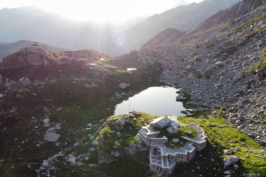
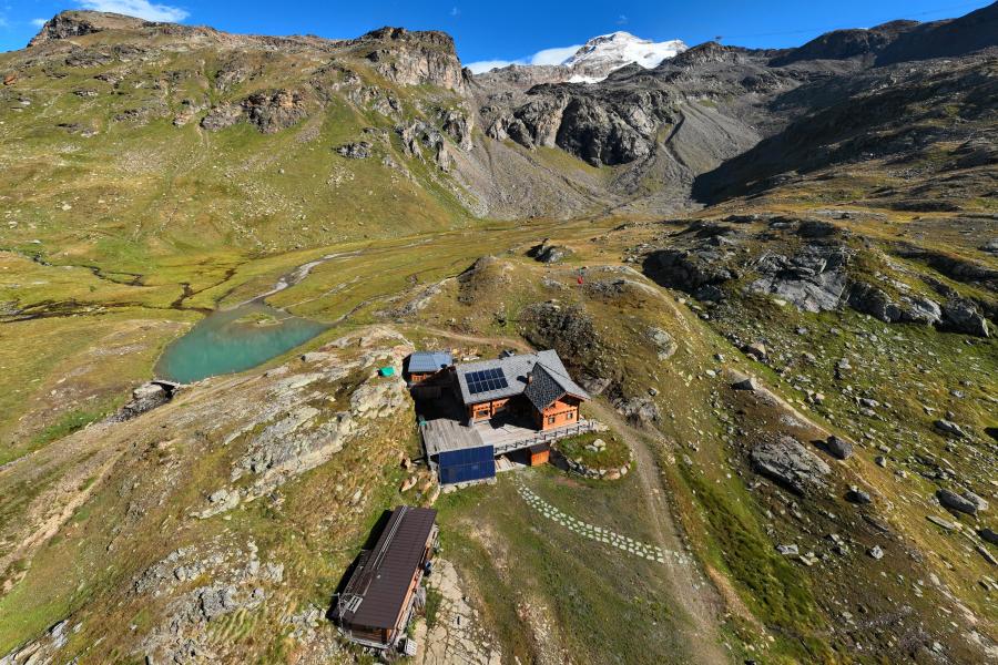
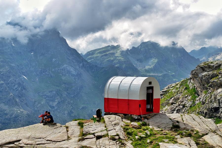
Alpe Larecchio and Ospizio Sottile

By: alagna.it

Larecchio lake

Coumarial-Rifugio Barma

Route category:

Duration:

Length: 14500 m

Difficulty:

Barma

Details of the tour

Properties

Ascent: 860 m

Descent: 860 m

Lowest point: 1415 m

Highest point: 2020 m

Distance: 14500 m

Where

Start point

Coumarial, 11020 Fontainemore AO

Get me there

Destination

Staffal - Oreste Hutte

Route category:

Duration:

Difficulty:

Orestes Hutte

Details of the tour

Properties

Ascent: 863 m

Lowest point: 1798 m

Highest point: 2618 m

Where

Start point

Staffal, 11020 Gressoney-La-Trinité AO

Get me there

Destination

Pedological Geological Path

Corno del camoscio

Gressoney La Trinité - Sant'Anna - Staffal

Route category:

Duration:

Difficulty:

Sant'Anna

Details of the tour

Properties

Ascent: 557 m

Lowest point: 1634 m

Highest point: 2171 m

Where

Start point

Gressoney-La-Trinité, 11020 Gressoney-La-Trinité AO

Get me there

Destination

The Monterosa enclosed in two maps created just for you

Cartine

Gastaldi Bivouac

Route category:

Duration:

Difficulty:

Bivacco Gastaldi

Details of the tour

Properties

Ascent: 1079 m

Lowest point: 1635 m

Highest point: 2713 m

Where

Start point

Edelboden Inferiore , 11020 Gressoney La Trinité AO

Get me there

Destination

Lake Blu-Lake Verde

Route category:

Duration:

Difficulty:

Lago blu

Details of the tour

Properties

Ascent: 827 m

Lowest point: 1822.99 m

Highest point: 2649 m

Where

Start point

Get me there

Destination

Football in Gressoney

Calcio