An itinerary that leads to the gates of the nearby province of Biella. It was used by shepherds as a link between Valsesia and Valsessera.
Starting from Mera, the journey time is just over 30 minutes. Starting from the town of Scopello instead it is about 2 hours and 30 minutes. Bocchetta della Boscarola can also be reached by MTB, following the PCV number 3 which connects Mera to Bielmonte.
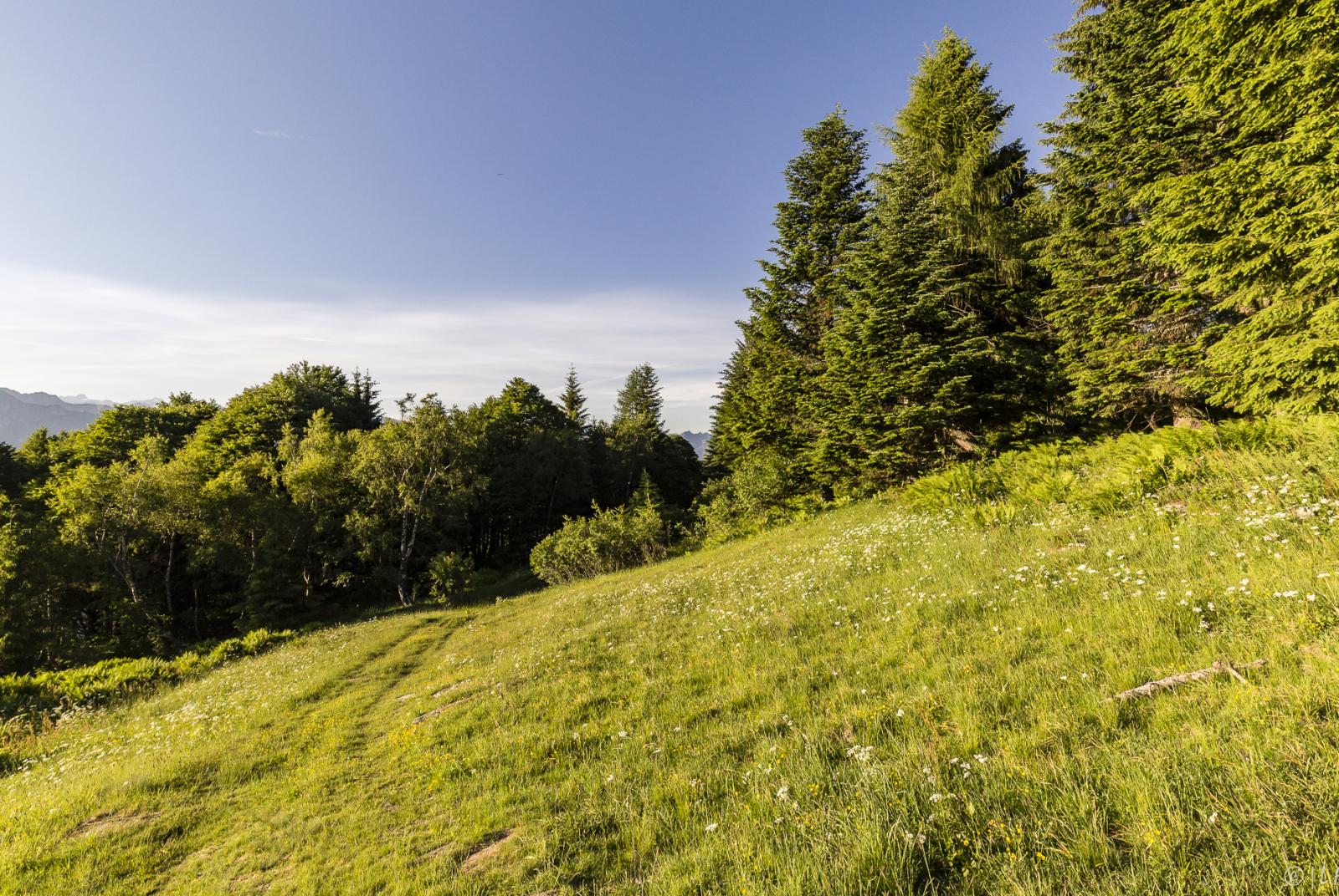
The itinerary for Bocchetta della Boscarola and Alpe di Mera begins in Scopello, 659m, beyond the bridge over the Sesia. Take the uphill road in front of Bar Capriccio which immediately after the houses becomes a mule track, climbs into the woods and, alongside a rock, crosses the Mera road for the first time. After passing a chapel, cross the road again which you pick up again above and follow it for a short hairpin bend to the right at an altitude of 840m.
Taking the mule track again at an altitude of 860m, you will find the chapel of S.Carlo, the ruins of Alpe Fracchia and you reach the large repeater at an altitude of 1030m where you still touch the road. Continuing on, you come to a votive pillar and you arrive on the road just below Alpe Colletto, 1125m, where itinerary 233a for Mera begins (1.30 hours). Descend for a short stretch along the road and the mule track for Boscarola is on the right.
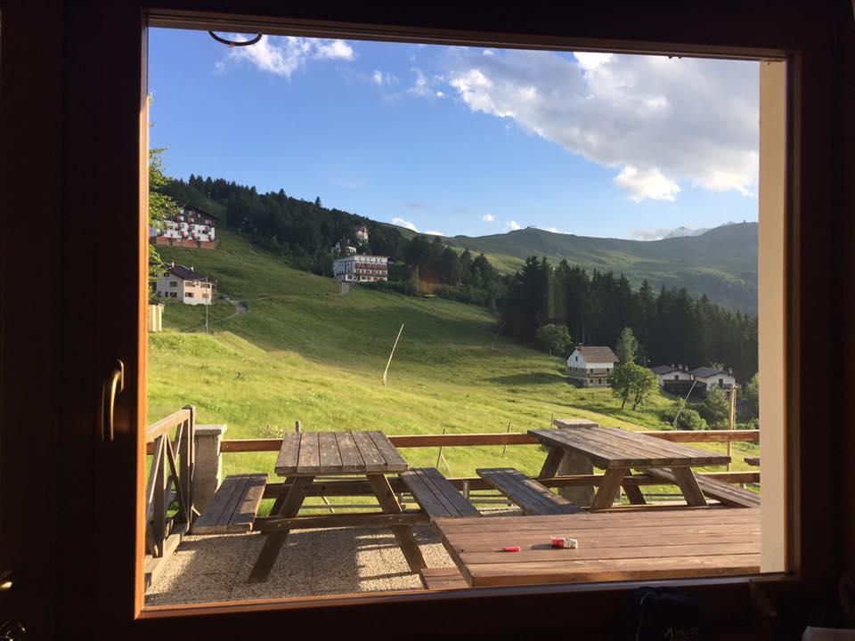
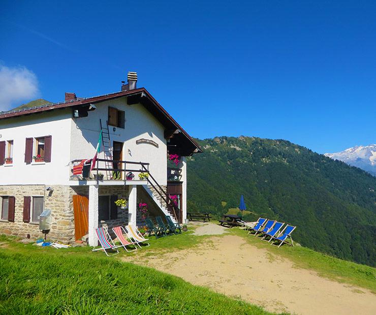
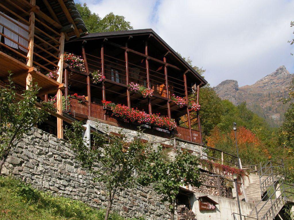
Here it is also possible to arrive by car. In the middle of a beech forest, leaving several pastures upstream and downstream (Alpe Bricata, Pian della Lupa), you cross some streams and enter a stretch of dirt road. Just before reaching the pass, you approach the Fontana dell'Asino, where the ruins of a hut that served as a refuge still exist.
The depression of the Bocchetta della Boscarola, 1423m (1-2.30 am), is located between Mount Camparient (or Talamone), 1742m, and Cima della Mora, 1935m.

